
Categories: Sightseeing / Travel
Mississippi River Flooding, Part 2
This is Part 2 of “Flood of the Century.” And for the record, only certain communities here in Memphis like the ones near the Mississippi River or creeks were flooded.
Be sure to start with Part 1 to see the Mississippi River (west of downtown Memphis) reach Flood levels. I had never seen anything like it, and don’t expect to, ever again.
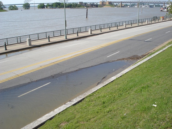
The Mississippi River spilling over onto Riverside Drive
(Photo from this post; taken on Saturday, May 7, 2011)
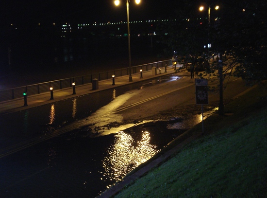
In just 2 days, flooding stretched further north on Riverside Drive; it reached the “Great River Road” sign (center right)
Monday, May 9, 2011 evening
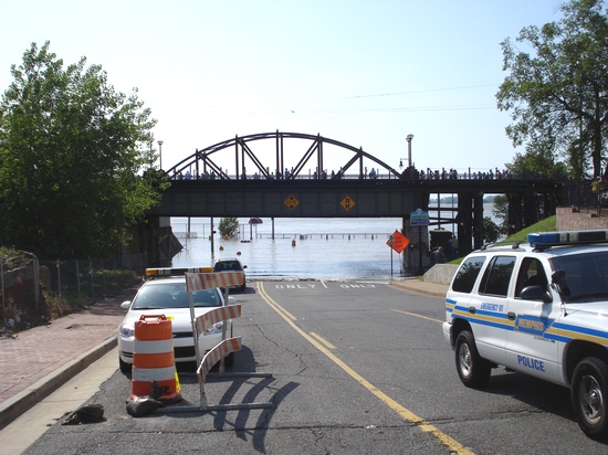
View of intersection of Beale Street and Riverside Drive…
(Photo from this post; taken on Saturday, May 7, 2011)
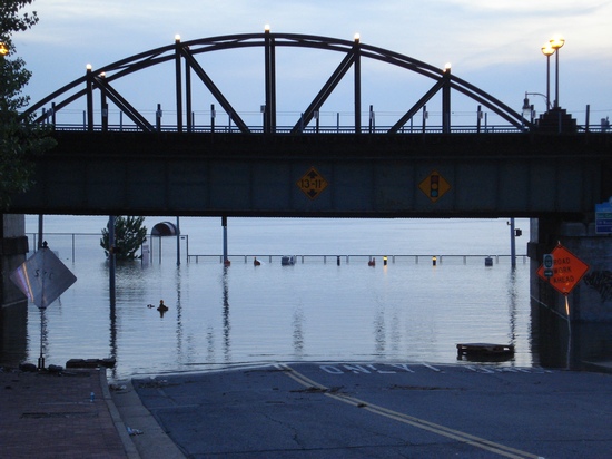
…Three days later
Tuesday, May 10, 2011
To view photo in Flickr, go to http://www.flickr.com/photos/yummies4tummies/5752906535
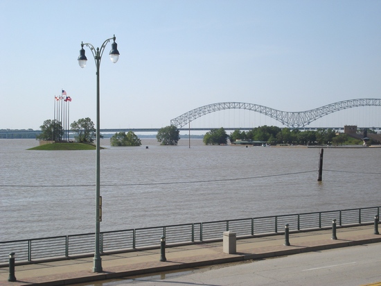
Mud Island River Park with the M Bridge in background…
(Photo from this post; taken on Saturday, May 7, 2011)
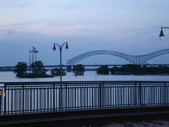
…Three days later
Tuesday, May 10, 2011
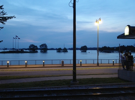
View from near the Union Avenue/Riverfront trolley stop; note the yellow caution tape
Tuesday, May 10, 2011
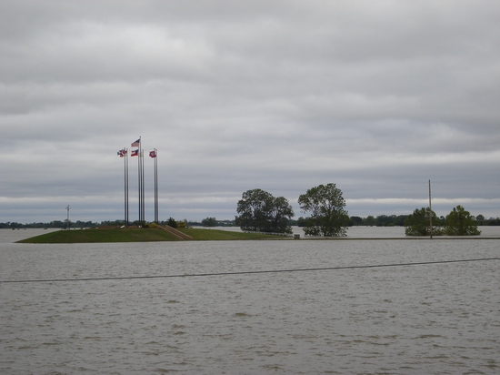
The flooding had receded *some*
Saturday, May 14, 2011 morning
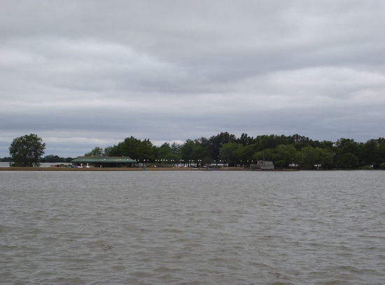
Voilà, there’s Mud Island River Park
Saturday, May 14, 2011 morning
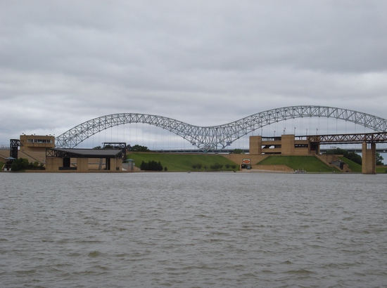
Am I the only one who thinks the M Bridge is a gorgeous backgroup for Mud Island?
Saturday, May 14, 2011 morning
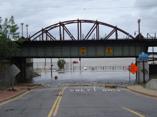
In 4 days time, river receded a couple of feet (see 4th photo above for comparison)
Saturday, May 14, 2011 afternoon
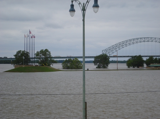
Flag poles on Mud Island…
Saturday, May 14, 2011 afternoon
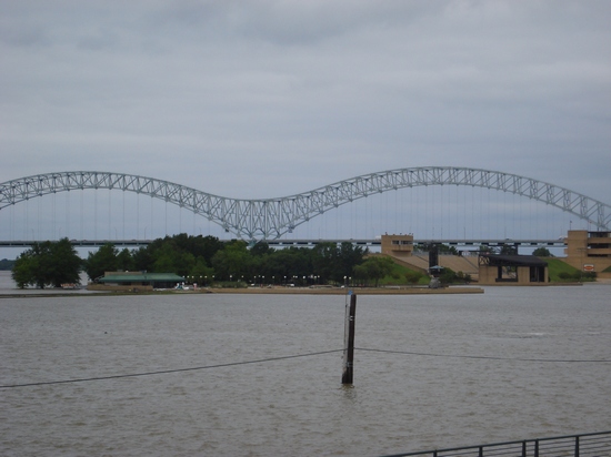
…And the rest of Mud Island
Saturday, May 14, 2011 afternoon
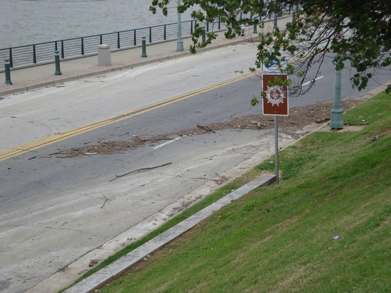
Where the water had once been (see 2nd photo above for comparison)
Saturday, May 14, 2011 afternoon
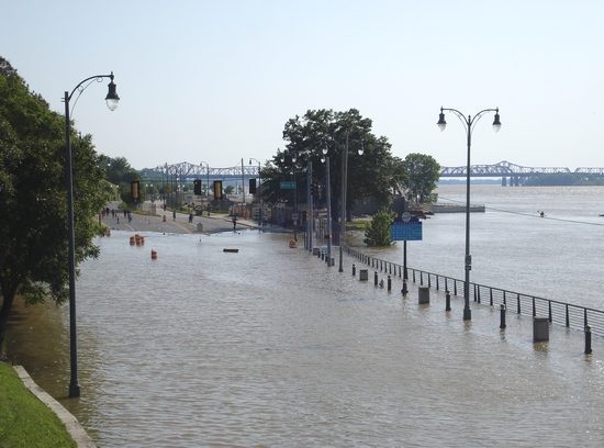
The intersection of Riverside Drive & Beale Street (looking south on Riverside Drive)…
(Photo from this post; taken on Saturday, May 7, 2011)
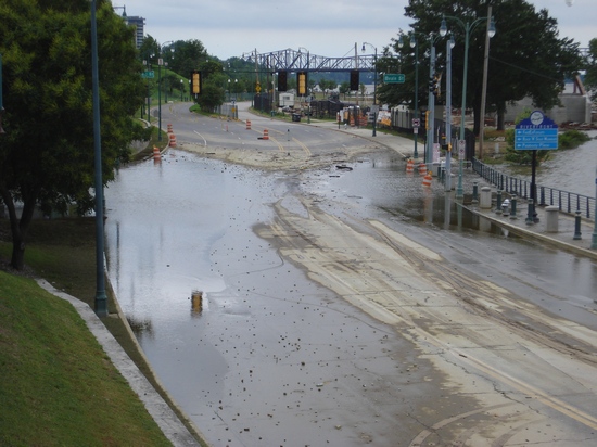
…And a week later
Saturday, May 14, 2011 afternoon
Stay tuned for Part 3.













 Tags:
Tags: 


Discussion
No comments for “Mississippi River Flooding, Part 2”
Post a comment