
Categories: Sightseeing / Travel
Mississippi River Flooding, Part 3
This is Part 3 of the Mississippi River flood near downtown Memphis. Photos were snapped at Jefferson Davis Park on May 16, 2011. It was absolutely gorgeous that day. Nice, cool breeze. Perfect playing hooky from work walking weather.
Let’s start with an “overview” photo from Confederate Park:
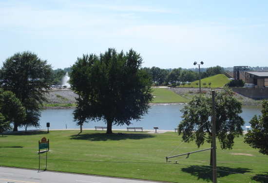
Jefferson Davis Park (in foreground) and Mud Island River Park (in background)
(Photo from this post; taken in 2009)
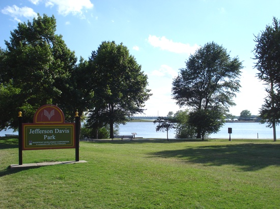
I was gabbing on my cell phone as I approached the river…
May 16, 2011
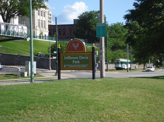
…And ecstatic this will be the closest I’ve gotten to the flood waters
May 16, 2011
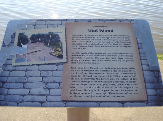
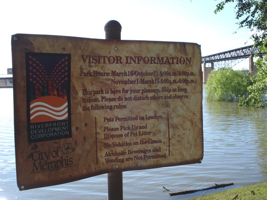
Sign about Mud Island River Park
May 16, 2011
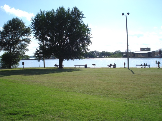
Apparently I wasn’t the only one with the same idea
May 16, 2011
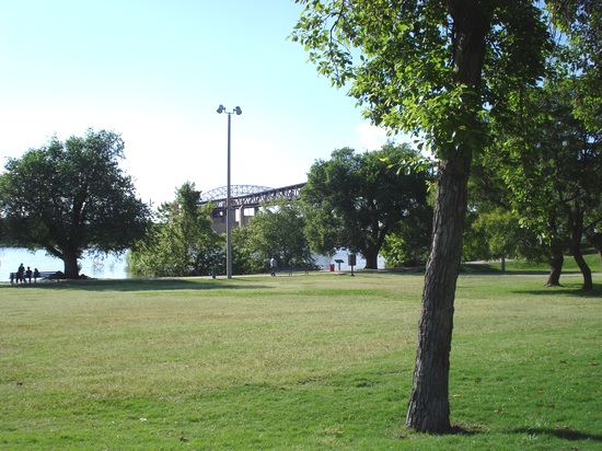
Relaxing comes with the territory
May 16, 2011
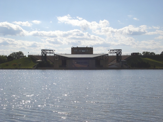
Amphitheater at Mud Island River Park
May 16, 2011
So now let’s put your analytical skills to the test! What’s the difference between the next 2 photos? (Big hint: flooding)
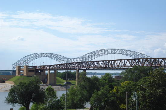
Mud Island Monorail & M Bridge in background (view from Confederate Park)
(Photo from this post; taken in 2009)
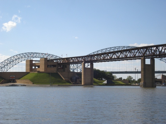
I was clicking away from Jefferson Davis Park
May 16, 2011
Figure out what’s “different” about the above photo? Here’s the answer:
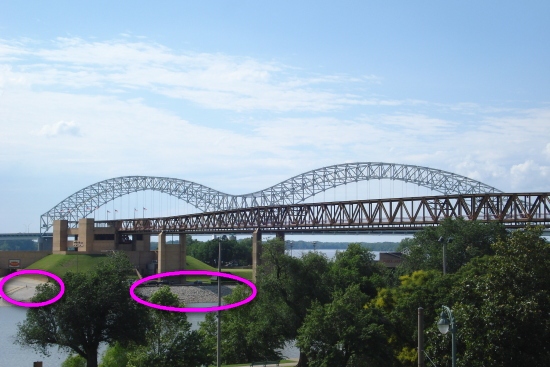
The rocky ledges (circled in magenta) are still underwater!
(Photo from this post; taken in 2009)
Not quite the same view, but what’s obviously different about the next two photos? (Hint: Look for the green rooftop building in both photos)
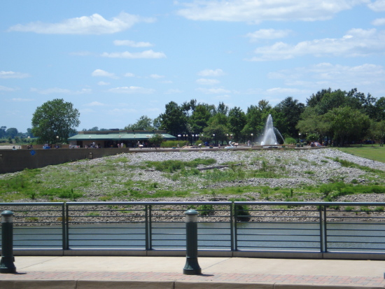
Mud Island River Park (the building is on the left)
(Photo from this post; taken in 2009)
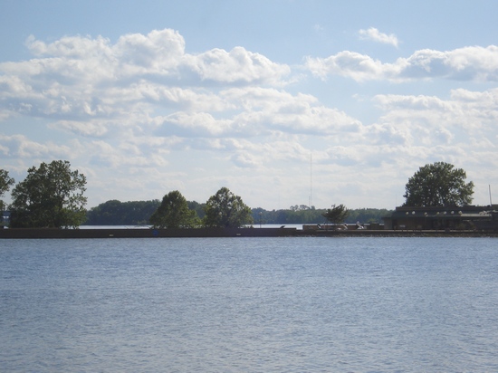
All you see is what appears to be a retaining wall and trees (building is at far right)
May 16, 2011
Here’s what’s peculiar about it: Everything in the red rectangular area below is “missing”. The Mighty Mississippi River hasn’t quite relinquished its claim on Mud Island.
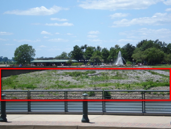
When the River finally subsides, the grass and rocky ledges will appear again
(Photo from this post; taken in 2009)
Final exercise, I promise. This next photo has 2 main colors: blue (for the sky and body of water) and green (for all the grass surrounding the base of the flag poles).
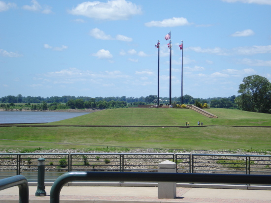
What the flag poles and southernmost point of Mud Island normally looks like
(Photo from this post; taken in 2009)
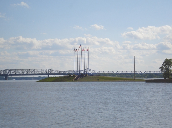
I soooo did not photoshop this pic!
May 16, 2011
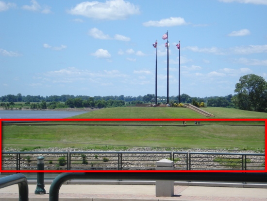
Maybe in a few week’s time, we’ll see all this green again
(Photo from this post; taken in 2009)
Next up will be Part 4.









 Tags:
Tags: 


Discussion
No comments for “Mississippi River Flooding, Part 3”
Post a comment