
Categories: Sightseeing / Travel
Pearl Harbor Visitor Center, Part 2
In Part 1, Chip and I had walked the right half of the Visitor Center (the purple line in the image below). The USS Arizona Memorial and USS Bowfin Museum will be duly covered in upcoming posts.
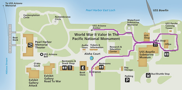
Pearl Harbor Visitor Center Map
Park Map is from the National Park Service’s website
Please note: 10 photos were “magnified” to show greater detail (depicted by corresponding numbers in red).
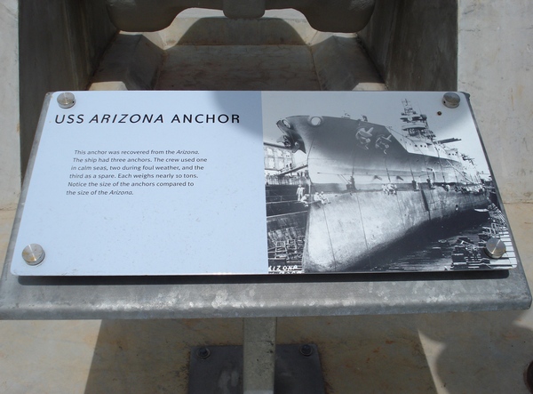
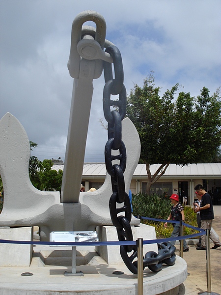
The USS Arizona Anchor…
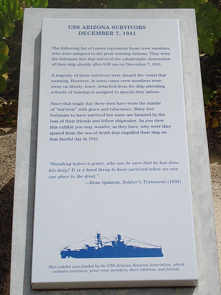
The list of USS Arizona Survivors…
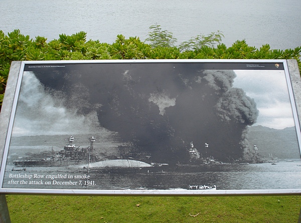
Vintage photo of Battleship Row following the Japanese attack on Pearl Harbor…
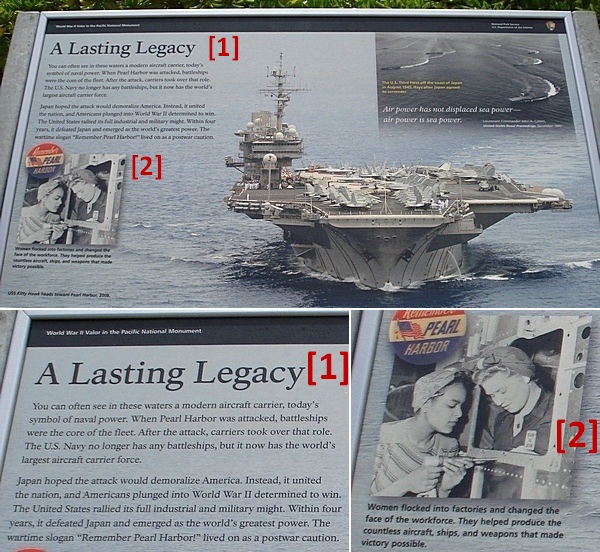
How the aircraft carrier legacy began……
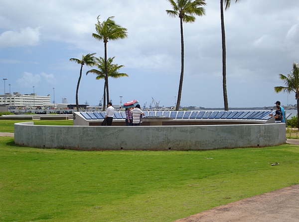
The Remembrance Circle…
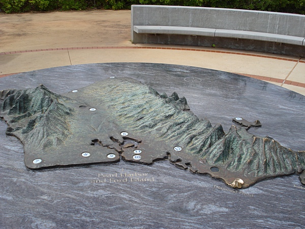
A topographical map of Oahu (in the center of Remembrance Circle), illustrating all the attacked areas…
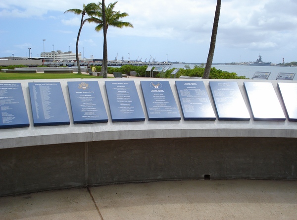
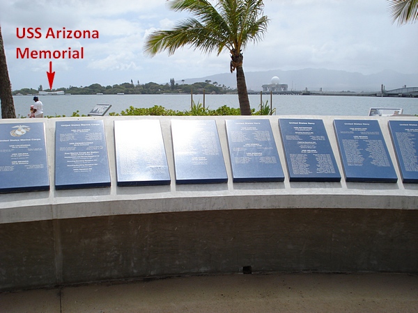
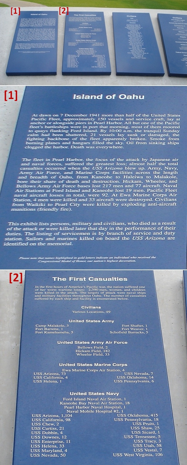
Names of all military personnel (listed by branch of service) and civilians who perished, excluding those on the USS Arizona…
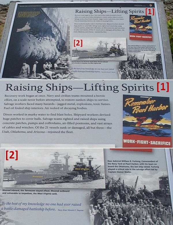
Recovery work to raise sunken ships…
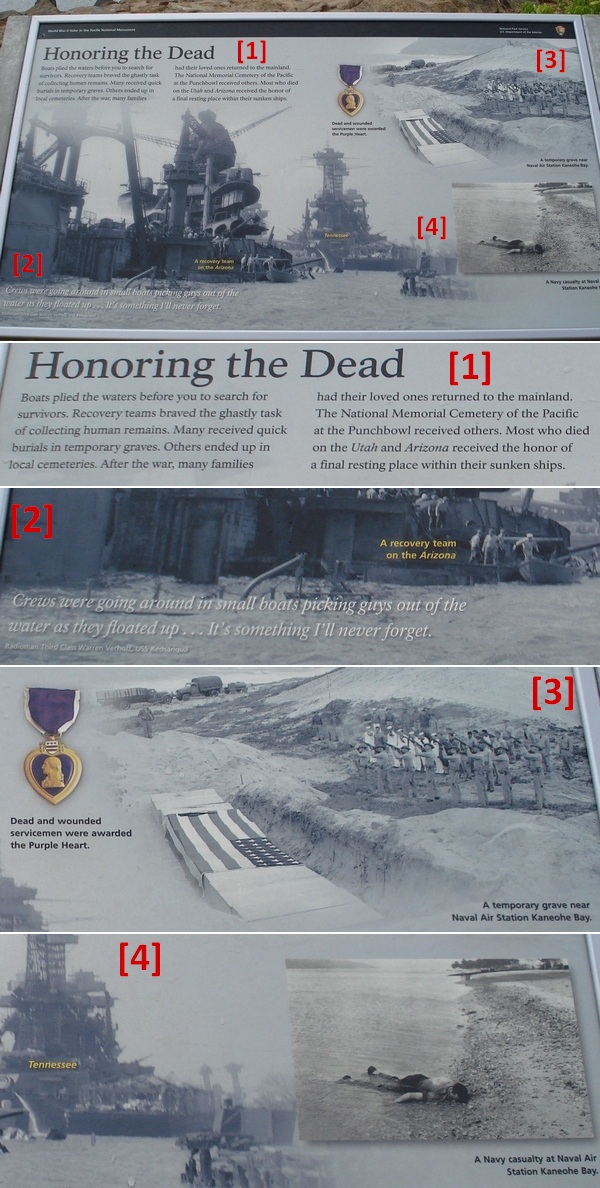
Honoring those who died on duty…
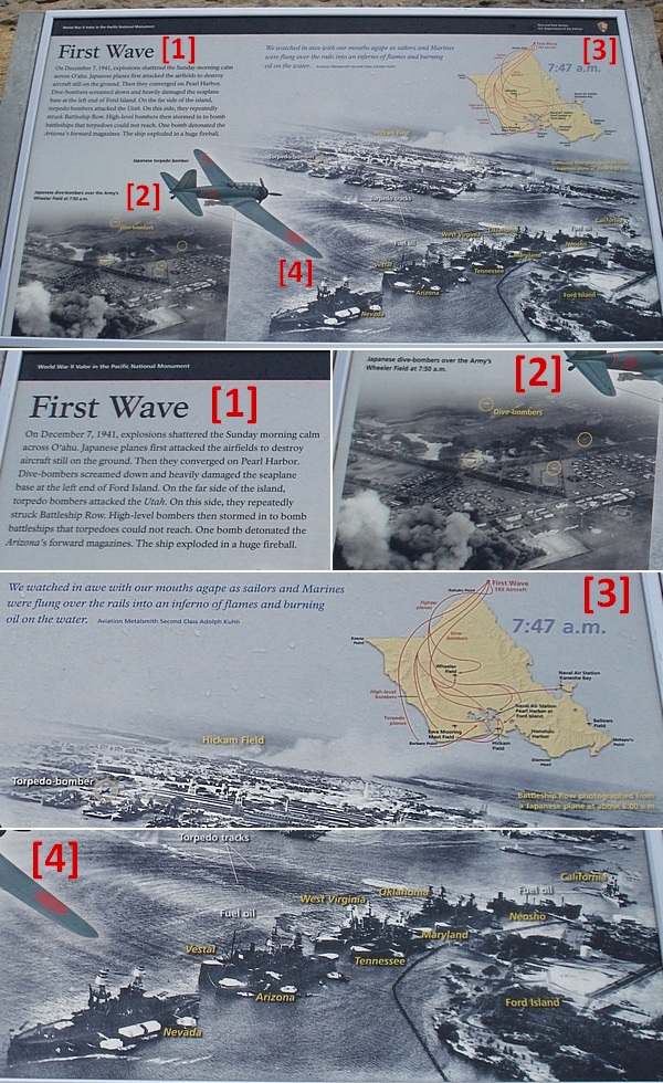
How it all transpired (Japan’s first attack wave)…
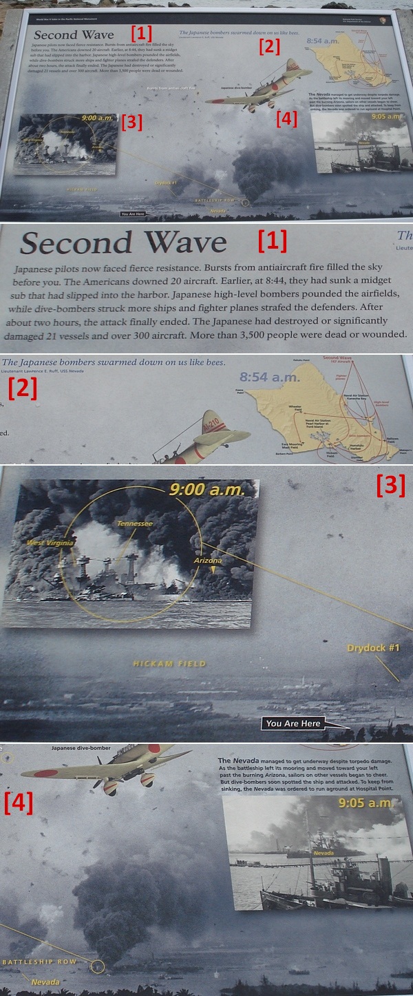
The second attack wave…
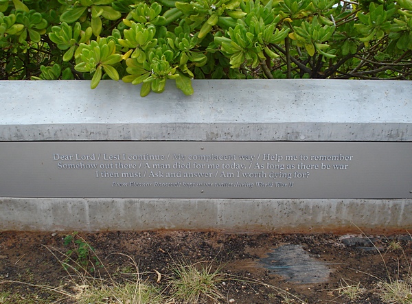
Poem in Eleanor Roosevelt’s wallet during WWII…
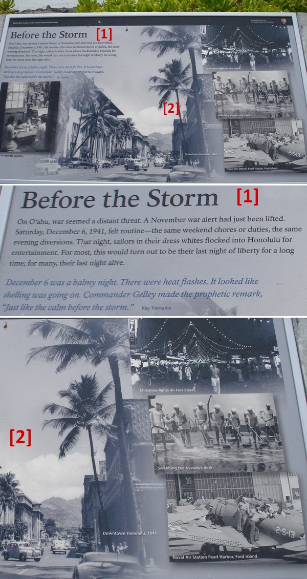
Eve of the Day of Infamy…
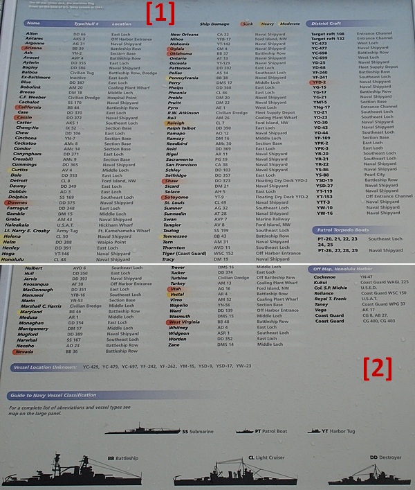
Roster of U.S. vessels and the damage incurred…
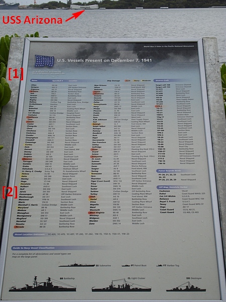
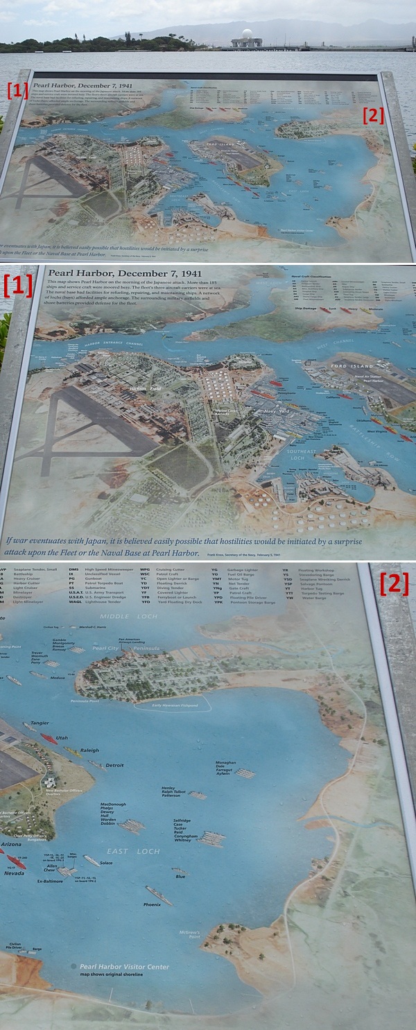
Map/location of all the vessels in port that morning…
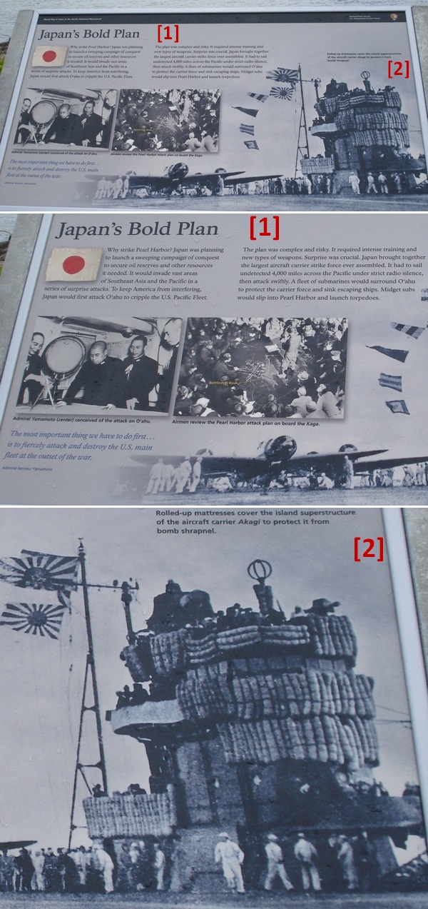
Japan’s motives for the Pearl Harbor attack…
How I’ll always remember the Pearl Harbor Visitor Center…
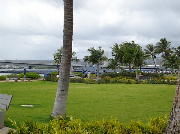
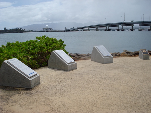
Park setting with grass, palm trees, benches, and view of the East Loch
USS Bowfin Submarine (in background)
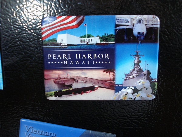
The two magnets I purchased at the gift shop (now stuck to our fridge)…
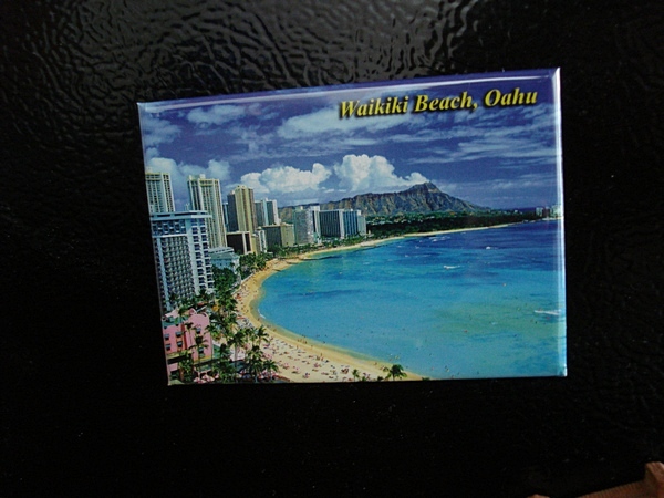
We had seen the beautiful Waikiki Beach earlier that morning
The USS Arizona Memorial will be posted soon.





 Tags:
Tags: 


Discussion
No comments for “Pearl Harbor Visitor Center, Part 2”
Post a comment